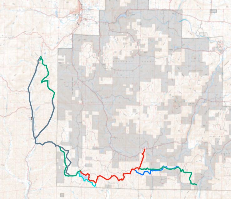
The Gaps
Much work on the Interior Highlands Trails has been completed over the last 20+ years by the various trail maintenance organizations. So little remains to fill the gaps to achieve a continuous 1700 mile hiking/paddling route from Little Rock, Arkansas to Kansas City, Missouri.
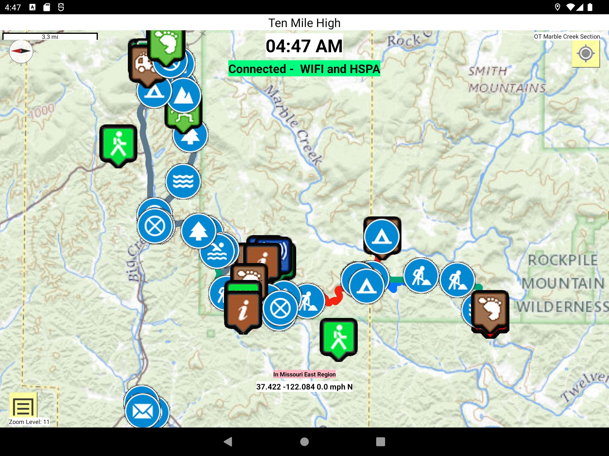
- Marble Creek Section needs completion
- OHT East Section needs construction
- Keystone Section needs construction (work has bee progressing sence 2020)
- Connecting the Buffalo Trail West Section with the Buffalo Trail Central Section with in the Buffalo National River corridor.
The26 Mile OT Big River Section and the37 mile OT Pamona Section will remain road walks for the foreseeable future. Don't let that deter you from completing the entire 1700 mile U.S. Interior Highlands trail as a thru hike or by sections.
Volunteer and Let's get-r-done!
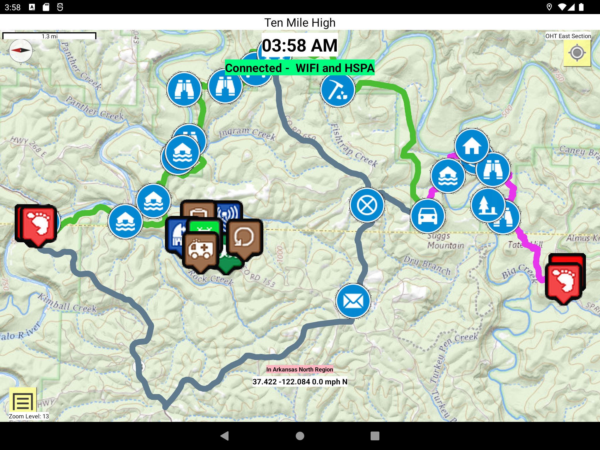
OHT East Bushwhack
Ozark Highlands Trail Route - Lower Buffalo Wilderness is a hiker’s guide including topo route maps, waypoints, and description of this 16-mile bushwhack on the south side of the Buffalo River from the BRT/OHT at AR-14 (Dillard's Ferry) to the Sylamore section of the OHT. 48 pages. Copyright 2006, Duane Woltjen.
Volunteers are needed from Mountain Home and Fayetteville, Arkansas to close this gap. Pay it Forward.
If you want to assist in any way, please contact the OHTA.
Dateline 4/11/23: Per James Hodges, OHTA Trail Completion Representative, And I quote"
"It’s still a bushwhack for the most part in the NPS’s Lower Buffalo Wilderness. From Syllamore’s Spring Creek Trailhead there’s a good trail west-ish through the Forest Service land to the NPS boundary and social/historic trail down to Big Creek and up to Log Wagon Gap. There are sporadic social/historic trails off and on through the rest of the wilderness but I recommend using a GPS and Duane Woltjen’s book to navigate through the area over to Dillards Ferry. "
Marble Creek Section Adopt-A-Trail volunteers
Adopt-A-Trail volunteers are needed for the Marble Creek Section of the OT. See the Open AAT segments website spreadsheet.
There are gaps of the uncompleted trail in the Marble Creek Section connecting the southern terminus of the Taum Sauk section following Ketcherside Mountain trail. It would follow the Royal Gorge loop trail then jumps the RR tracks to enter the Ketcherside Mountain Conservation area. It crosses 3000 feet of private property till it meets County road 123. See Acre Value ERNST, JAY
There is a Planned Ozark trail of 3.5 miles from highway 124 to crane lake. there is a Planned 6 mile Ozark trail from forest road 2156 to forest road 7303A . See the USFS classic topo map and USGS topo map. It crosses 1000 feet of private property following Marsh creek down to County road 431. See Acre Value SASSER, PAUL A & MELISSA J
Volunteers are needed from Poplar Bluff, Fredericktown, Iornton, Acadia, and Farmington, Missouri to close these gaps. Pay it Forward.
Contact the OTA to volunteer.
.
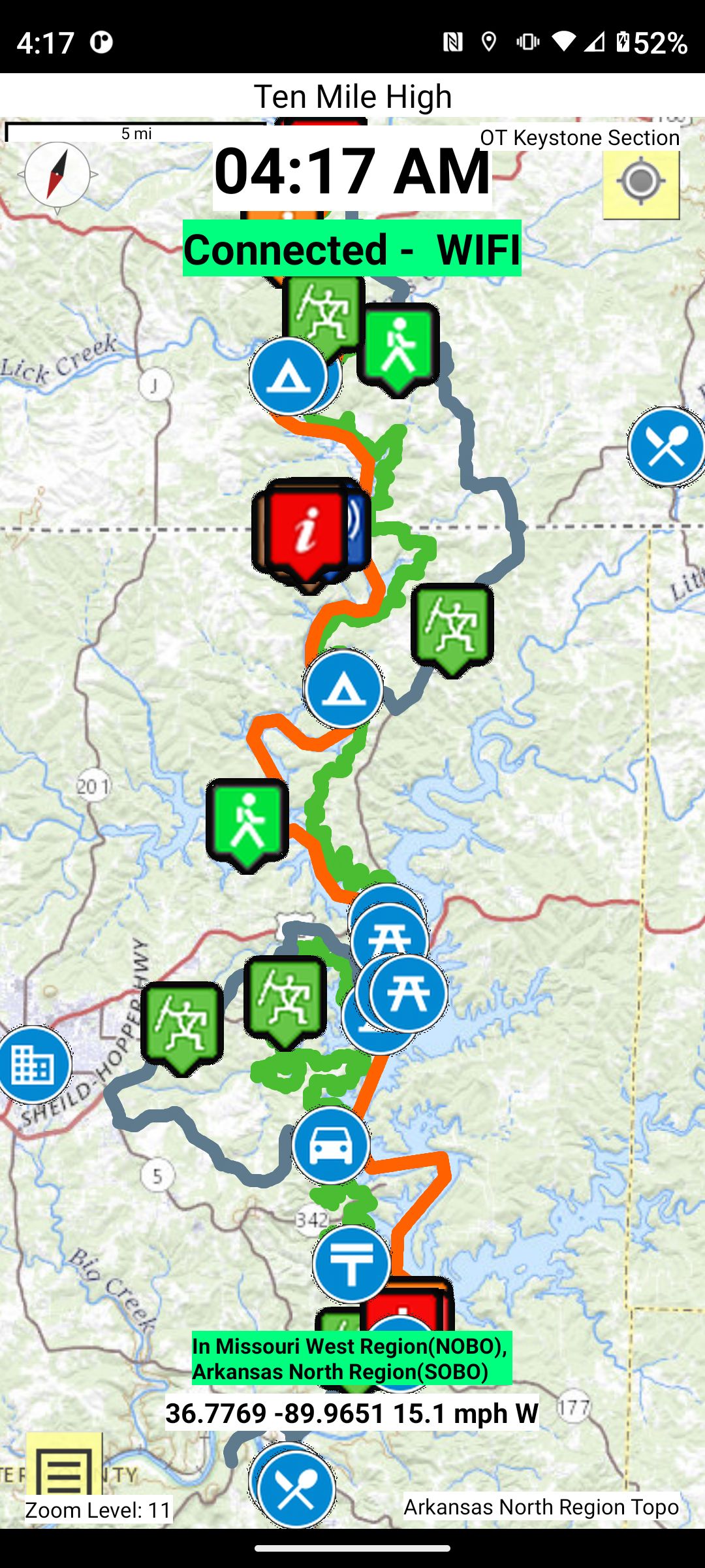
Keystone Section
There existed segments of trails along the Norfork Lake called the David's Trail. The U.S. Corp of Engineers decide to complete this trail and enlisted the assistance of the OTA and the OHTA to provide the volunteer labor.
If you want to assist in any way, please contact James Hodges, OHTA Trail Completion Representative, at 870-421-0579 or JJHodges93@yahoo.com .
You may also contact the OTA and/or the OHTA.
Volunteers are needed far and wide to close this gap. Pay it Forward.