OHT East Section
Arkansas Section Trails
On-line Recon Map
Section Driving Directions and Trail Information
Each section trail is shown in red and each shows the connection with an adjoining loop trail in turquoise. Section trails are typically two or three day hikes but some may be 5 day hikes or more.
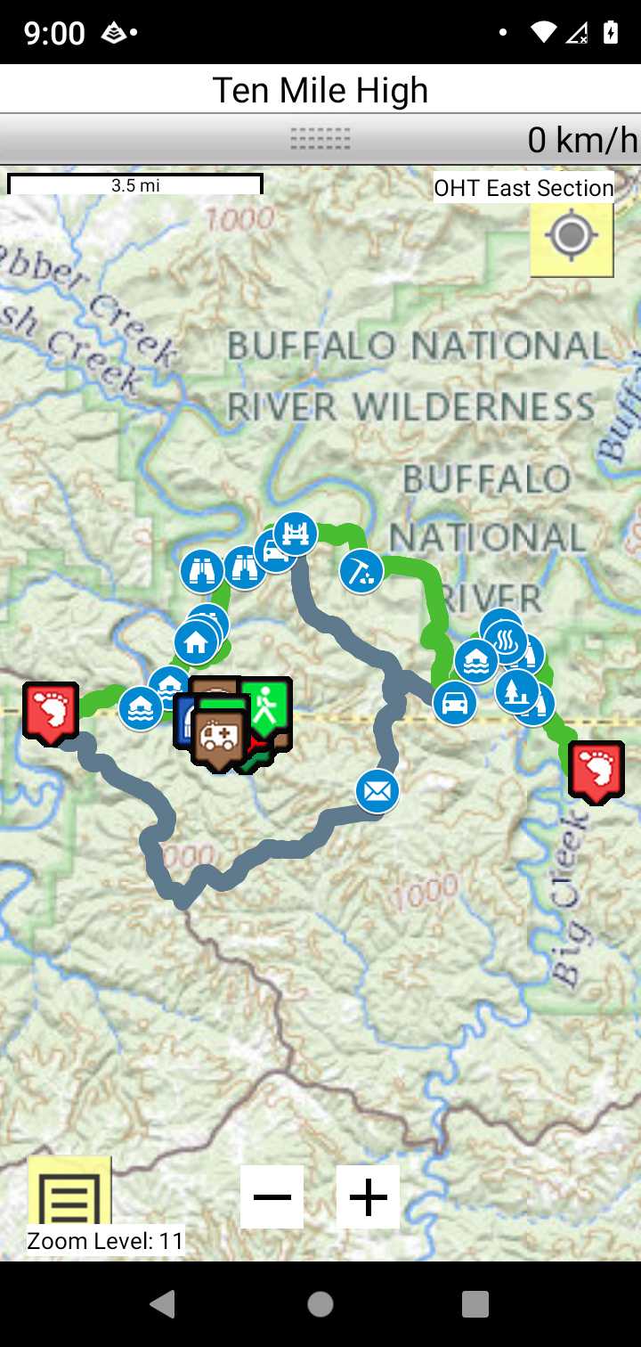
Trail Map as it Appears in the App
Weather Forecast and Current Radar
ARKANSAS CURRENT RADAR (INTELLICAST)
Facebook Search Links
Buffalo River Trails search results in Ozark Trail Section Hikers And Backpackers FB group
You must register with FB and join the FB groups to post!
Topographic Map Links
OHT Bushwhack Route - Lower Buffalo Wilderness Hikers guide
Support the OHT and purchase their map and booklet products.
Buffalo River trails Middle and Lower River Area

Print the topo map and carry with you while on trail! Also carry a compass!