OT Boundary Waters Section
Missouri West Section Trails
Section Driving Directions and Trail Information
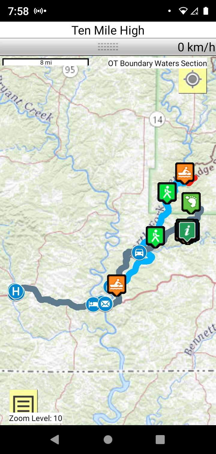
Each section trail is shown in red and each shows the connection with an adjoining loop trail in turquoise. Section trails are typically two or three day hikes but some may be 5 day hikes or more.
Trail Map as it Appears in the App
Weather Forecast and Current Radar
MISSOURI CURRENT RADAR (INTELLICAST)
Roadwalk
Collins Ridge Trailhead to Dawt Mill Road walk 15.5 miles
Consider floating the North Fork River
If SOBO meet your canoe at Hammonds mill float to Dawt Mill where you will continue your SOBO trek of the Keystone section.
If NOBO the outfitter will shuttle you up to Hammonds mill where you will canoe back to Dawt mill. The outfitter will shuttle you again up to Hammonds mill where you can continue your NOBO trek of the OT North Fork Section.