White Rock Shores Lake Loops
OHT West Section - Arkansas Loop Trails
On-line Recon Map
Loop Driving Directions and Trail Information
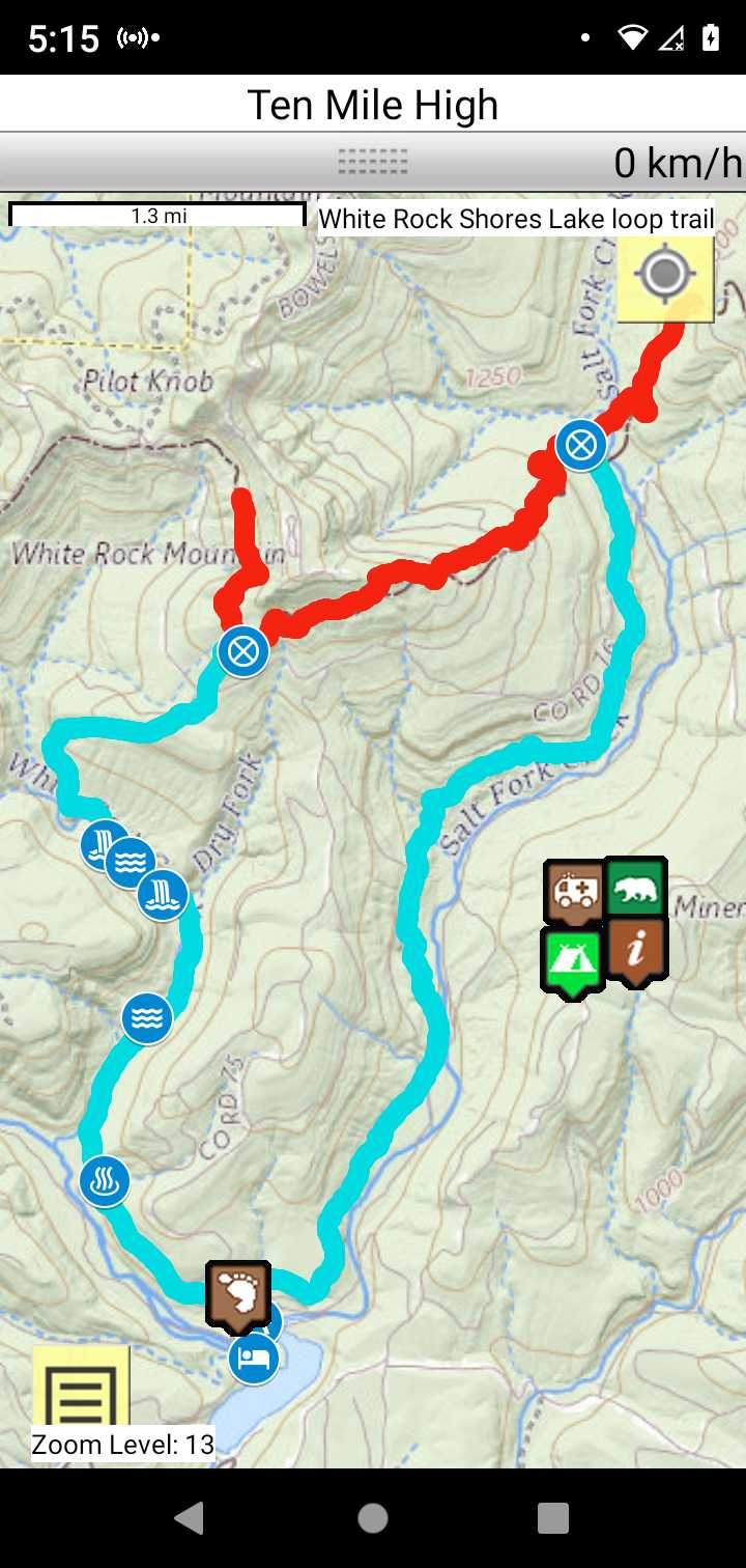
Each loop trails is shown in turquois and each shows the connection with the Secvtion Trail in red. Loop trails are typically one or two day hikes. Some loop trails are comprised of multiple intersecting trails. You pick the loop you want to hike.
Trail Map as it Appears in the App
Weather Forecast and Current Radar
ARKANSAS CURRENT RADAR (INTELLICAST)
Facebook Search Links
You must register with FB and join the FB groups to post!
Topographic Map Links
Do NOT hit the trail without paper maps and a compass. This ain't Disneyland!
Ouachita Maps - White Rock Shores Trail
White Rock-Shores Lake Loop topo
