OT Big Spring Section
Missouri East Section Trails
Section Driving Directions and Trail Information
Each section trail is shown in red and each shows the connection with an adjoining loop trail in turquoise. Section trails are typically two or three day hikes but some may be 5 day hikes or more.
Trail Map as it Appears in the App
Weather Forecast and Current Radar
MISSOURI CURRENT RADAR (INTELLICAST)
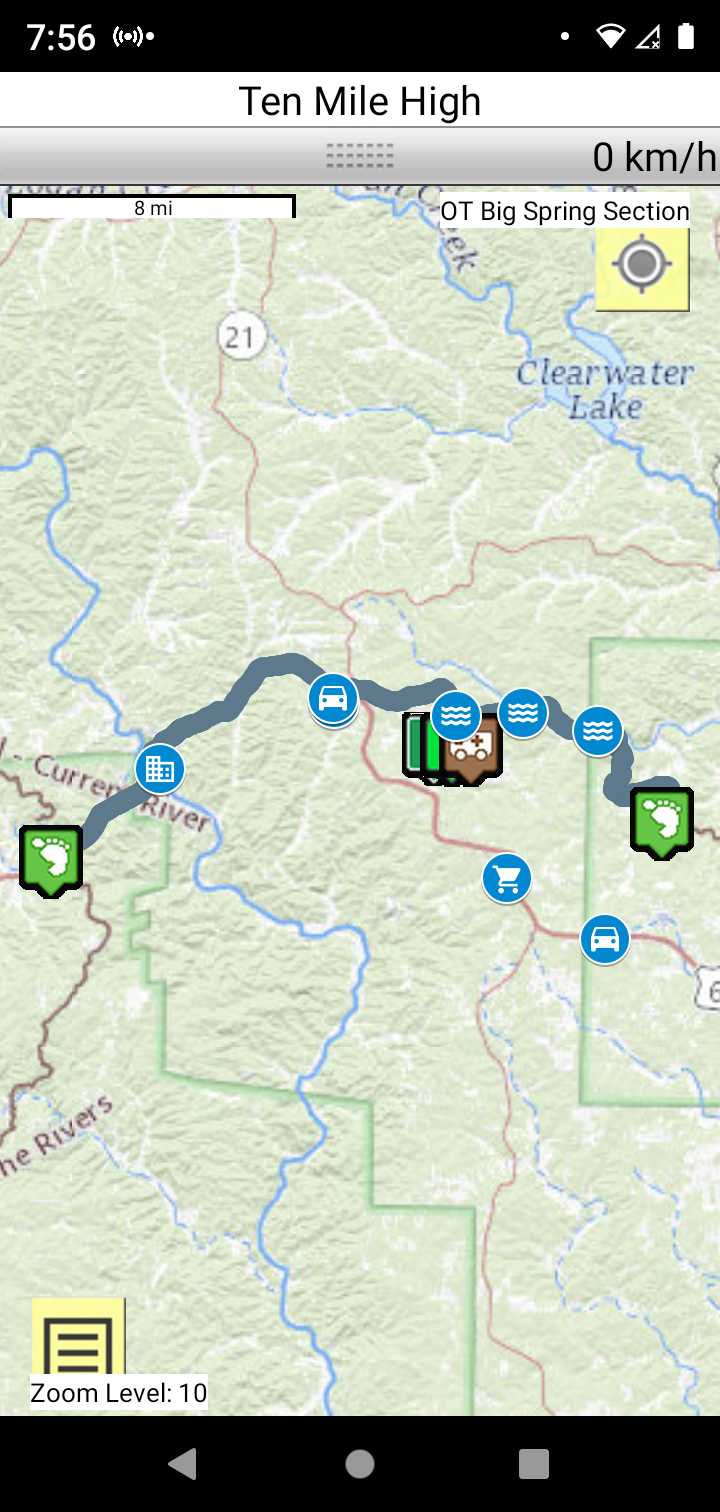
Roadwalk
A 25.3 miles road walk between the Current River Section southern terminus to Victory section Western terminus.
The Carter Creek Conservation Area allows primitive camping. Plenty of streams to the east. You will pass through Van Buren, MO where you can get some vittles.
Make sure to fill up your water bottles as Carter Creek Conservation Area does not have a water source.
Carter Creek Conservation Area