Ponca Wilderness Loops
BRT west Section - Arkansas Loop Trails
On-line Recon Map
Loop Driving Directions and Trail Information
Each loop trails is shown in turquois and each shows the connection with the Secvtion Trail in red. Loop trails are typically one or two day hikes. Some loop trails are comprised of multiple intersecting trails. You pick the loop you want to hike.
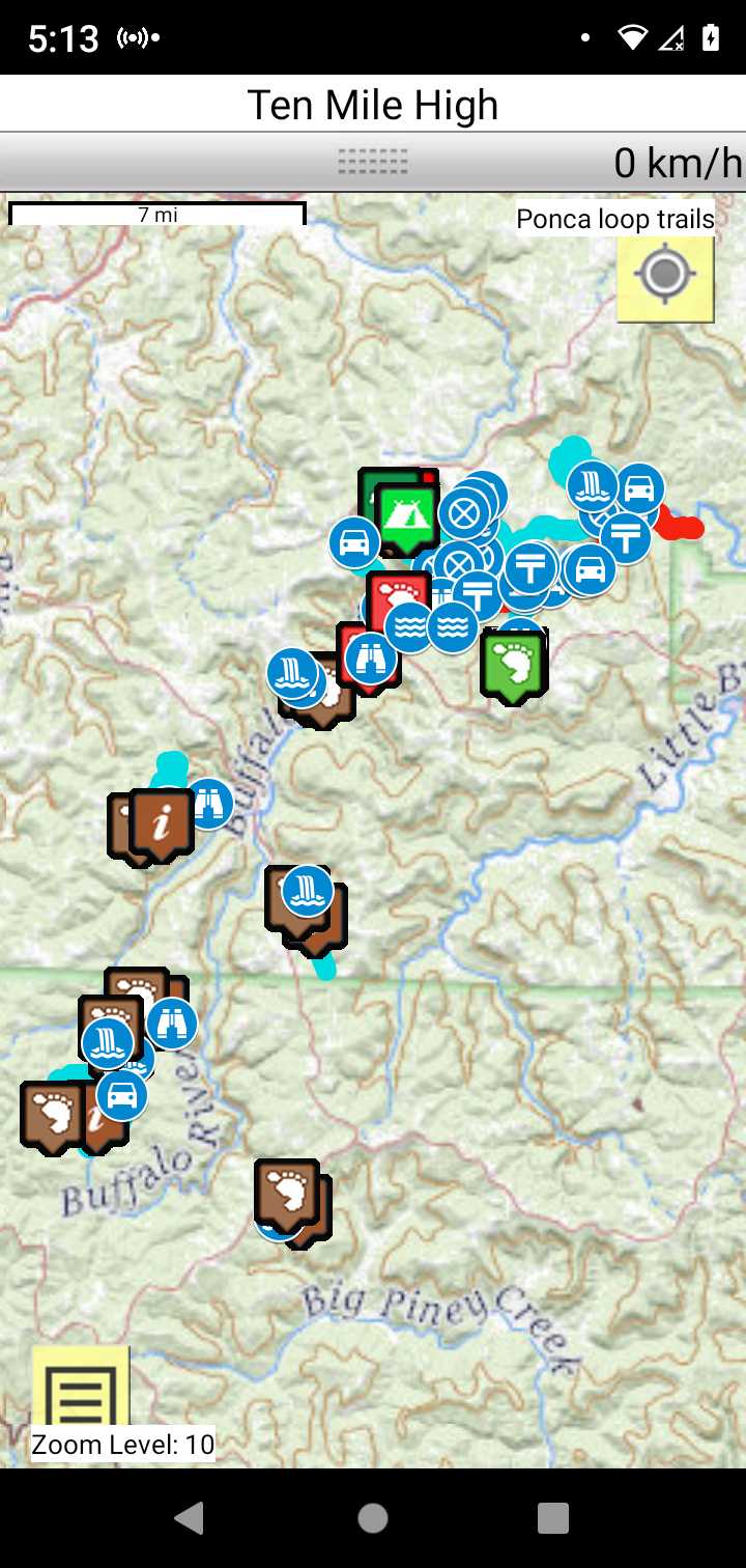
Trail Map as it Appears in the App
Weather Forecast and Current Radar
ARKANSAS CURRENT RADAR (INTELLICAST)
Facebook Search Links
Ponca search in Midwest Central States Hiking FB group
You must register with FB and join the FB groups to post!
Topographic Map Links
Do NOT hit the trail without paper maps and a compass. This ain't Disneyland!
Buffalo National River Map Pack Bundle
If you prefer maps that you can use on a mobile device or print yourself, download map PDF's:
Buffalo River Trail - Western Section

Print the topo map and carry with you while on trail! Also carry a compass!
The Tim Ernst trail guides offer much valuable information
Indian Creek to Tunnel Cave Falls
Cecil Cove Loop to Thunder Canyon Falls