Eleven Point River
Missouri West Paddlers' Trails
Paddlers' Driving Directions and Trail Information
Each paddler trail is shown in green, orange, or blue and each shows the connection with an adjoining loop trail in turquoise. Paddlers' trails are typically two or four day floats if floating the entire length. Single day floats are available from various outfitters.
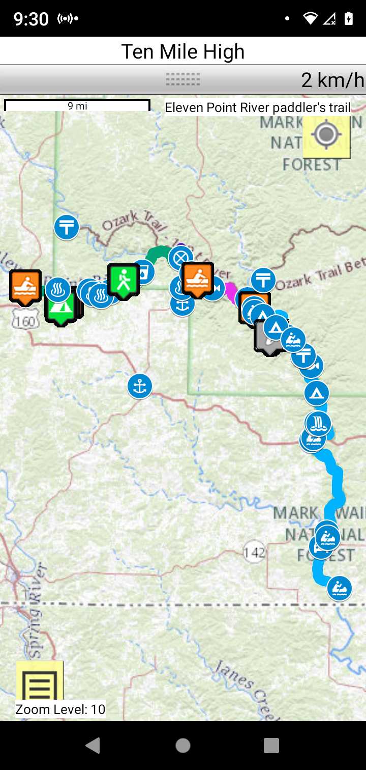
Trail Map as it Appears in the App
Weather Forecast and Current Radar
MISSOURI CURRENT RADAR (INTELLICAST)
Facebook Search Links
River Navigation Map Links
Southwest Paddler Thomasville to MDC Myrtle Public Access
Eleven Point River – Mile-By-Mile Description
You may camp anywhere along the upper Eleven Point River. There is a single float camp with facilities Cane Bluff
A list of float camps along the lower Eleven Point River are given below. These are ancient, originally buitt in the 60's.
Turner Mill South River Access
Turner Mill North River Access