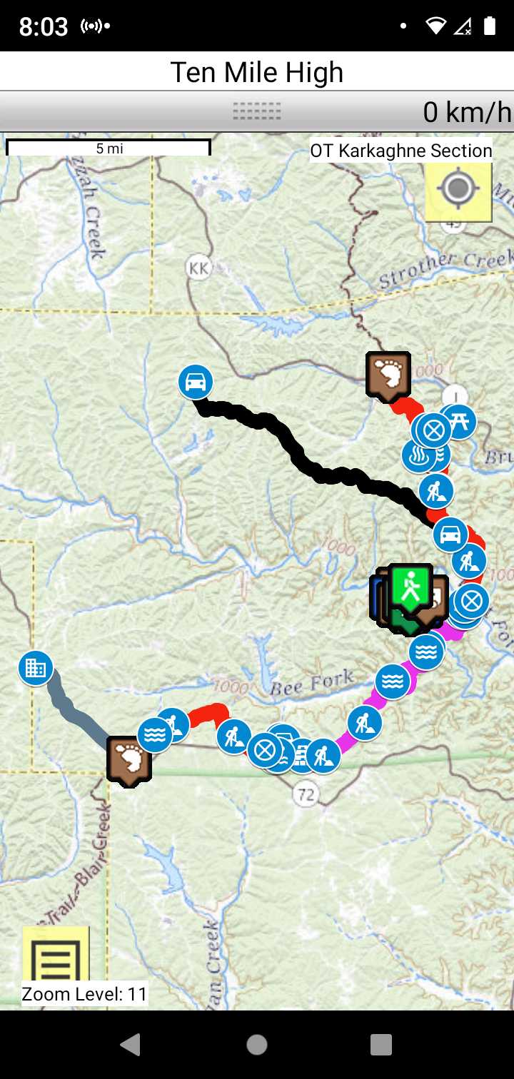
OT Karkaghne Section
Missouri Middle Section Trails
Section Driving Directions and Trail Information
Each section trail is shown in red and each shows the connection with an adjoining loop trail in turquoise. Section trails are typically two or three day hikes but some may be 5 day hikes or more.
Trail Map as it Appears in the App
Weather Forecast and Current radar
MISSOURI CURRENT RADAR (INTELLICAST)
Facebook Search Links
Karkaghne section search results in Ozark Trail Section Hikers And Backpackers FB group
You must register with FB and join the FB groups to post!
Topographic Map Links
Here is link to OT Karkaghne section topo.

Here is link to purchase OT Karkaghne Section map
Support the OT and purchase their map and booklet products.
Print the topo map and carry with you while on trail! Also carry a compass!
Handy map top have in case you need to bailout.
FOREST SERVICE MOTOR VEHICLE USE MAP
Trip Planner
Print the OTA trip planner for direction you are hiking.