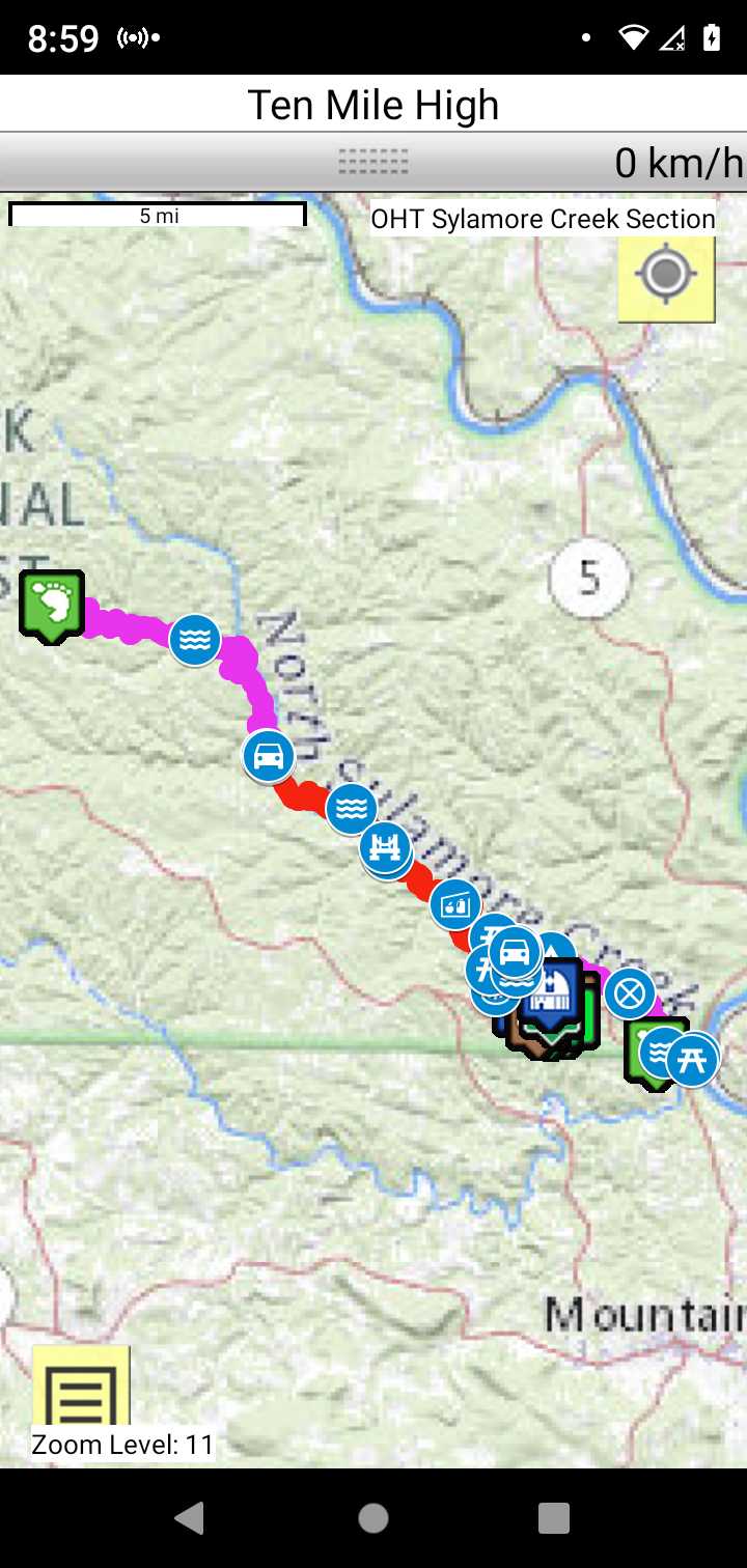
OHT Sylamore Creek Section
Arkansas Section Trails
On-line Recon Map
Section Driving Directions and Trail Information
Each section trail is shown in red and each shows the connection with an adjoining loop trail in turquoise. Section trails are typically two or three day hikes but some may be 5 day hikes or more.
Trail Map as it Appears in the App
Weather Forecast and Current Radar
ARKANSAS CURRENT RADAR (INTELLICAST)
Facebook Search Links
OHT Sylamore and Sylamore Creek search results in Midwest Central States Hiking FB group
You must register with FB and join the FB groups to post!
Topographic Map Links
Purchase Ozark Highlands Trail - North (Buffalo River & Sylamore) Map
OHT North Sylamore Creek section topos

Print the topo map and carry with you while on trail! Also carry a compass!