Trans Ozark Section
Arkansas Section Trails
On-line Recon Map
Section Driving Directions and Trail Information
Each section trail is shown in red and each shows the connection with an adjoining loop trail in turquoise. Section trails are typically two or three day hikes but some may be 5 day hikes or more.
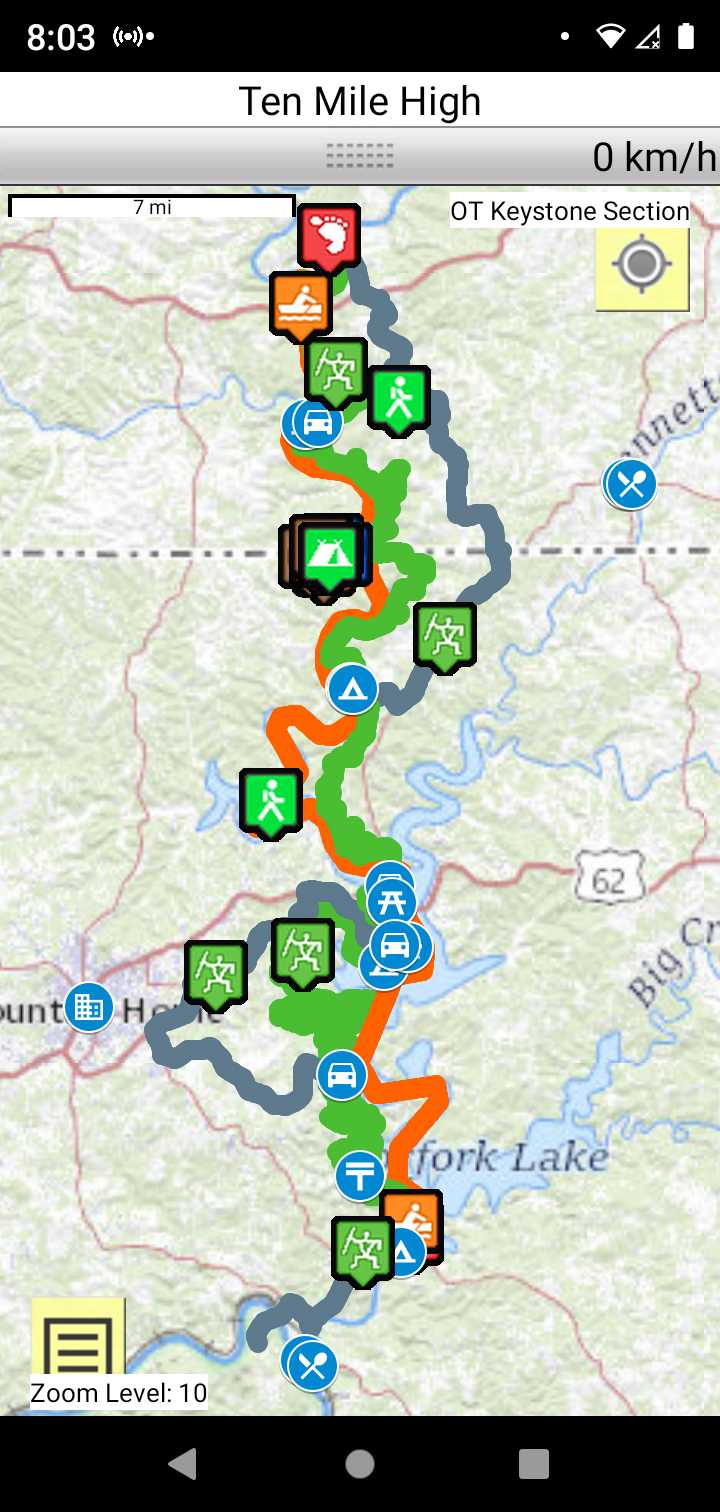
Trail Map as it Appears in the App
Weather Forecast and Current Radar
ARKANSAS CURRENT RADAR (INTELLICAST)
Facebook Search Links
Topographic Map Links
NOTE:
78 mile keystone section between Techumsa, MO and Lake Norfork dam, AR. Some sections are under construction. The trail is on Corp of Engineer property.
Completed sections are :
- Davids trail, Robinson Point to Red Bank
- Davids triail Norfork Dam to FishNfiddle
You could opt for a self-outfitted 40 mile paddle of Lake Norfork between Techumsa, MO and Lake Norfork dam, AR.
USACE Norfork Lake Campgrounds
Currently you need a permit to camp at various rustic sites. Contact Little Rock District USACE