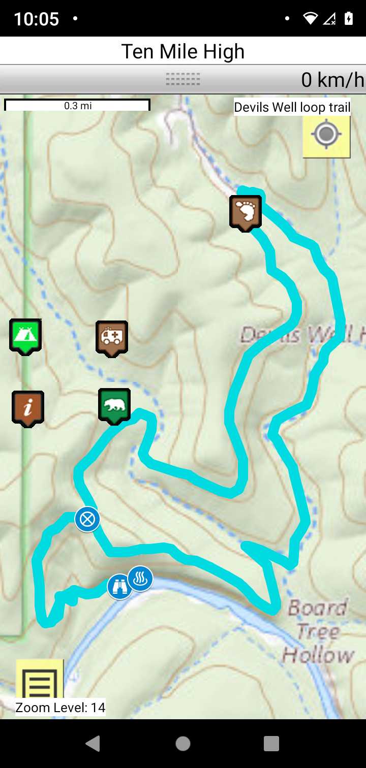
Devils Well Loop
Current River Paddlers' Trail - Missouri Middle Loop Trails
Loop Driving Directions and Trail Information
Each loop trails is shown in turquois and each shows the connection with the Secvtion Trail in red. Loop trails are typically one or two day hikes. Some loop trails are comprised of multiple intersecting trails. You pick the loop you want to hike.
Trail Map as it Appears in the App
Weather Forecast and Current Radar
MISSOURI CURRENT RADAR (INTELLICAST)
Facebook Search Links
Devils Well search results in FB groups
You must register with FB and join the FB groups to post!