ONRT Section
Arkansas Section Trails
On-line Recon Map
Section Driving Directions and Trail Information
Each section trail is shown in red and each shows the connection with an adjoining loop trail in turquoise. Section trails are typically two or three day hikes but some may be 5 day hikes or more.
Weather Forecast and Current Radar
ARKANSAS CURRENT RADAR (INTELLICAST)
Weather Forecast and Current Radar
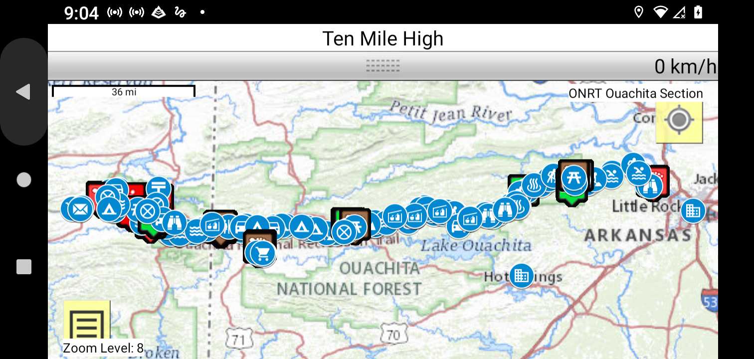
Trail Map as it Appears in the App
Facebook Search Links
ONRT (Ouachits) search results in Ozark Trail Section Hikers And Backpackers FB group
ONRT(ouachita) search results in Midwest Central States Hiking FB group
You must register with FB and join the FB groups to post!
General Info
Oklahoma Ranger District recreation areas
For more information about the volunteer association and the trail, check out their website:
Topographic Map Links
Do NOT hit the trail without paper maps and a compass. This ain't Disneyland!
The Compulsive Hiker - Ouachita National Recreation Trail

Print the topo map and carry with you while on trail! Also carry a compass!